About Canines for Heritage Preservation

Who We Are

Canines for Heritage Preservation provides non-invasive cultural preservation support using trained detection canines and complementary geospatial tools. Our work focuses on supplying information that supports respectful planning, consultation, and avoidance in culturally sensitive contexts.

Why This Work Exists

Across many landscapes, particularly in the American West, cultural resources and ancestral places are present but not always visible, marked or "remembered" in the written historical record. Detection canines offer a unique ability to identify areas of potential cultural sensitivity without disturbing the ground. Early planning decisions can benefit from additional, non-intrusive information that helps avoid inadvertent impacts and supports respectful stewardship.

Our work exists to provide that information in a way that prioritizes cultural sovereignty, confidentiality, and community values—especially in areas associated with historic and prehistoric contexts.

Our Commitments

We are committed to discretion, transparency, and respect for cultural sovereignty. Our work prioritizes avoidance, confidentiality, and collaboration, recognizing that cultural heritage carries significance beyond regulatory compliance.

How We Engage

Engagements are structured to meet project needs and cultural considerations. When scope or logistics require, we coordinate with trusted subcontracted canine teams, maintaining consistent standards and documentation across all work.

Experience and Capabilities

Background

Canines for Heritage Preservation is led by Melissa Kindt, a trained canine handler with professional experience supporting cultural resource management, heritage protection, and sensitive land-use planning efforts across the western United States.

Melissa’s background includes work on cultural resource projects conducted in coordination with CRM firms, Tribal governments, and land managers, with experience supporting projects subject to Section 106 of the National Historic Preservation Act (NHPA) and the Native American Graves Protection and Repatriation Act (NAGPRA). Her work has focused on early-stage reconnaissance, culturally sensitive contexts, and projects where discretion, avoidance, and informed planning are priorities.

In addition to field-based experience, Melissa is currently pursuing a degree in Applied Anthropology, with academic research focused on the use of detection canines, GIS, and aerial imagery as non-invasive tools in cultural heritage preservation. This work informs ongoing refinement of methods and documentation practices while remaining grounded in community-informed and field-based approaches.

Detection Canine Expertise

Our detection canines are trained using non-invasive methodologies to locate odors associated with historic and prehistoric human remains. Training and double-blind testing indicate accuracy rates exceeding 85%, with performance varying based on soil composition, burial depth, disturbance history, moisture, and above-ground conditions. Operational deployments are structured to maximize reliability while clearly communicating limitations and uncertainty.

Whenever project scope allows, two independently trained canines are deployed to support verification, redundancy, and continuity of work. When additional coverage or regional expertise is needed, we coordinate with experienced subcontracted canine teams operating under consistent standards and documentation practices.

sUAS, Mapping, and Data Collection

Canines for Heritage Preservation integrates canine detection with geospatial documentation. Melissa is an FAA Part 107 certified sUAS pilot, currently providing RGB aerial imagery in support of planning, site context, and documentation, with infrastructure in place to incorporate additional imagery technologies as project needs evolve.

All Trained Final Responses are documented using sub-meter GPS, and detection canines wear tracking collars to record survey coverage and search paths, supporting transparency and defensible reporting.

Deliverables and Reporting

Projects conclude with a final written report prepared in accordance with the contracting agency’s or organization’s preferred style guide. Deliverables may include mapped detection locations, aerial imagery, coverage documentation, and narrative summaries suitable for inclusion in planning records, consultation materials, or internal decision-making processes.

Collaborative and Respectful Engagement

Our experience emphasizes working in support of, not in place of, Tribes, cultural practitioners, CRM professionals, and agencies. We do not make determinations of significance or regulatory findings. Instead, our role is to provide additional information that supports informed consultation, avoidance strategies, and culturally appropriate decision-making.

Services

Overview

Canines for Heritage Preservation offers non-invasive services intended to support cultural preservation, planning, and consultation. Our work provides additional information to help define areas of potential cultural sensitivity and reduce the risk of inadvertent impacts, without excavation or ground disturbance.

Services are tailored to each engagement and are conducted in coordination with clients, cultural professionals, and relevant authorities.

Detection Canine Support
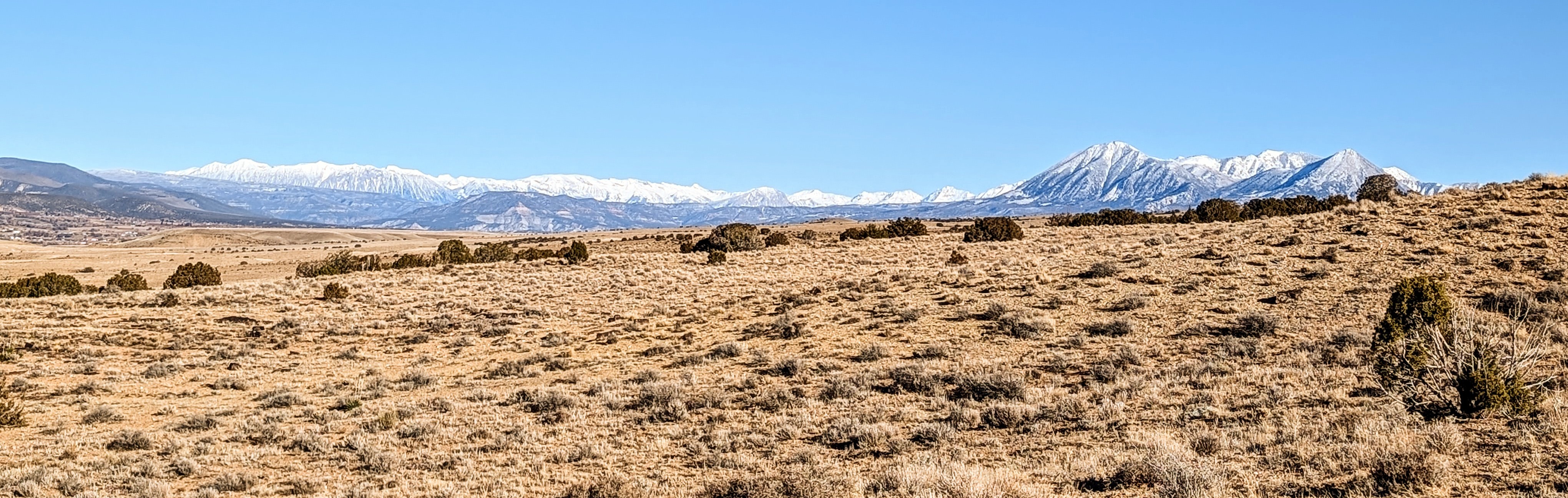
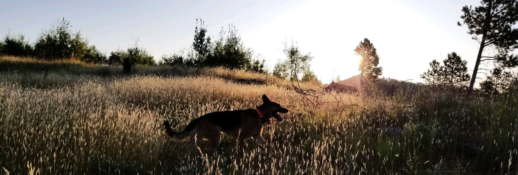
Specially trained detection canines are used to assist in identifying areas that may warrant cultural sensitivity, including locations that may potentially contain unmarked ancestral human remains associated with historic or prehistoric contexts.
In our work, we prefer to deploy at least two canines for continuity and verification. Their trained final responses (TFRs) are documented using sub-meter accurate GPS, and the canine movement is recorded with GPS tracking collars to display basic area coverage.

The information we collect and provide to you is intended to:
    - Inform early planning and reconnaissance
    - Support avoidance strategies
    - Assist consultation and decision-making processes

Detection canine work does not involve confirmation, identification, or disturbance of cultural materials.

Planning and Consultation Support

Our services are most often used during:
    - Early project planning
    - Reconnaissance-level review
    - Projects in culturally sensitive landscapes

Information generated through our work may support:
    - Identification of areas that may warrant avoidance or further investigation
    - Tribal consultation
    - Cultural resource planning under Section 106
    - Risk reduction and project design refinement
    - Information delivery tailored to agency or client needs

We work in support of—not in place of—established regulatory and consultation frameworks.

Sensitive and Discretionary Engagements

Many projects involve locations or contexts where discretion is critical.
We minimize field presence and use non-disturbing methods while we respect the communities protocols and priorities.
Engagements are structured to respect confidentiality, cultural values, and community priorities. Public documentation and reporting are limited and controlled by the client, with sensitivity to cultural concerns and land stewardship responsibilities.

Coordination with Other Disciplines

Our services may be conducted in coordination with:
    - Tribal cultural offices
    - Cultural resource management professionals
    - Public agencies and land managers
    - Other non-invasive documentation or planning tools

We function as a complementary resource within broader project teams, and our services are compatible with other survey and documentation efforts.

What We Do Not Provide

To ensure clarity, Canines for Heritage Preservation does not provide:
    - Excavation or subsurface investigation
    - Identification or confirmation of human remains
    - Archaeological determinations or evaluations
    - Regulatory findings or compliance certifications
    - Formal determinations of eligibility or significance
    - Regulatory decision-making or enforcement

All regulatory responsibilities remain with the appropriate authorities and professionals.

Engagements and Next Steps

Projects typically begin with a scope discussion to determine suitability, logistics, and deliverables. Final products include a written report prepared in the client’s preferred style guide and delivery of collected spatial data.
If you would like to discuss whether our work may be appropriate for your project or planning needs, please contact us to begin a conversation.